Shel_B
Site Donor 2023
- Joined
- Aug 7, 2020
- Messages
- 5,167
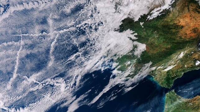
Concern is growing that Hurricane Hilary will unleash a prolific amount of flooding rainfall on the southwestern US and parts of California as it makes a rare move over the region Sunday and into early next week, triggering the first ever tropical storm watch for California.
Hilary could dump more than a year’s worth of rain in parts of three states: California, Nevada and Arizona. Because of the threat, parts of California face a rare high risk for excessive rainfall. This Level 4 of 4 threat is the first to ever be issued for this part of Southern California.
Hilary was a powerful Category 4 hurricane churning about 400 miles south of Cabo San Lucas, Mexico, Friday morning with sustained winds of 145 mph with stronger gusts, the National Hurricane Center said.